4 hours, 15 miles
Rocky Launch on the Kewaunee River
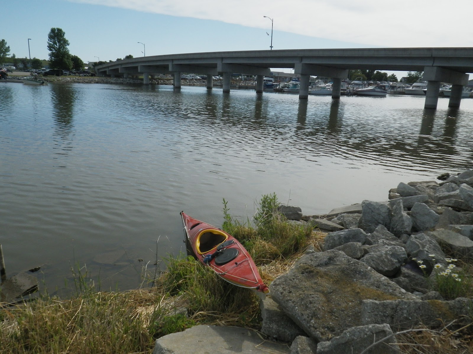
I launched at 9 AM just to the west of the Hy-way 42 bridge, in Kewaunee at a small park with a boardwalk. After some searching, I spied a small, grassy area amidst the rocky shore to launch.
I had looked at Father Marquette Park, a one time beautiful, sandy beach, but now full of rotting Cladophora (Mermaids’ Hair)…as was the North side of the swimming beach south of the river entrance.
I found out later, the extreme southern end of the beach was clear of Mermaid’s Hair and would have been a great launch point. The public boat ramp on the west side of the Hy-way, North side of the river, across from where I did launch, was good too…no fee for kayakers at this time.

Kewaunee Harbor Entrance
I headed out to Sea to the sounding Fog horn and light a mile or so Off-shore. It was glassy calm, water in the 50’s, air 60’s. A ten minute paddle brought us out to the horn. Dozens of fishing boats were scattered about trolling for?? fish. I sat there in the calm water enjoying the waooooh of the horn and looking at the coast line a mile or more away. Just glassy calm. So calm that when waves rolled in from passing boats a quarter mile away, they just merged into the smooth water…it was dizzying. 
Off Kewaunee-Fog Signal/Light
Ok, I’ve done some contemplation, now what? I headed to 50’ clay banks 2 miles south of Kewaunee. I was leery of the boat traffic, but as I was broadside to them and the water glassy smooth I should be an obvious TARGET…to avoid. I was. The 6 or 8 boats that passed, all cleared by a ¼ mile. Surprisingly the beach was not covered with Mermaid’s Hair, so exiting for a leg stretch and camera reposition was not a wade through a stinky mess.
Erosion along the Banks S of Kewaunee

“Round-About-Rock” 3 miles N of Kewaunee
Paddling back we were surprised to see another yakker, well a yakker wanna be, as she did not have lifejacket, spray skirt or clothes suitable to being a mile offshore in 49 degree water. The Lake Michigan Mid lake buoy is recording 61 degree water, but water temperature on the Great Lakes is like the wind…use the forecast as general information and it is what it is where you are when you are there…got that? In other words, local conditions may or may not be aligned with the predicted forecast.
North side of the Kewaunee Harbor

Once a Coast Guard Boathouse, now someone's Home

East side of Hy-way 42 Bridge
I bought a large bottle of water and scarfed down the Strawberry fritter and raspberry cheesecake stuffed something I had bought in Algoma on the drive down that morning. Exercise has it rewards…yumm.


